Bay of Fundy Vacation
New Brunswick/Nova Scotia


17 - 21 August, 2004

Click on pictures for larger version


Valarie had just been accepted to a job to work for Kodak, but not for a couple weeks. It was suggested that she take a vacation before she leaves- and that made sense, given she probably wouldn't have any time off this year seeing she was set to start in September. So, after weighing our options, we decided to go to Nova Scotia to see the world's highest tides in the Bay of Fundy. We had heard rave reviews of the place from acquaintances, so we were interested. The decision was made to drive to and from Nova Scotia in order to save on expenses, although we knew it would take 2 solid days to even get there.

We planned multiple stops along the way, in order to do various sightseeing activities. I had never been to Acadia National Park, despite having been to Maine 20+ times, and living there for 3 months. Valarie wanted to do a whale watch, and we quickly discovered the Bay of Fundy is an excellent place for whale watching. The official "destination" was cape split, it being the destination simply because it was the furthest away from home. Cape Split was our turn-around point in the trip, and on the way back we mostly drove. Too bad it was foggy there.

We recommend to anyone interested in seeing nature's wonders to drive around Nova Scotia and New Brunswick to see the wonderful sights offered. We had a lot of fun, and want to return so we can see Cape Split when it's clear, and also because even more people raved about Cape Breton Island (which we didn't have time to see). If you choose to drive, it's 22 hours from Rochester, NY. For comparison, Ft. Lauderdale, FL is just as far a drive from Rochester. If you choose to fly, fly into Halifax and rent a car. 2 round trip plane tickets are approximately $800. While there is a ferry from Acadia park (Bar Harbor) to western Nova Scotia (Yarmouth), it saves you 10 hours of driving (5 each way), but costs approximately $345 for 2 passengers and a car round trip. And then, you have to drive 2.5 hours to Cape Split from Yarmouth one way....

Day 1: Home to Acadia National Park


Long, 10 hour drive through NY, Massachussettes, New Hampshire and half of Maine to get to Acadia National Park. The main attraction at Acadia, other than Bar Harbor, is Cadillac Mountain. We drove up top to enjoy the view, as well as time the drive up the mountain to plan for watching tomorrow's sunrise. We wanted to be sure we'd make it to tomorrow's destination on time.
pumping gas
Pumping Gas @ start
mass turnpike
Crossing into Mass
wide right license plate
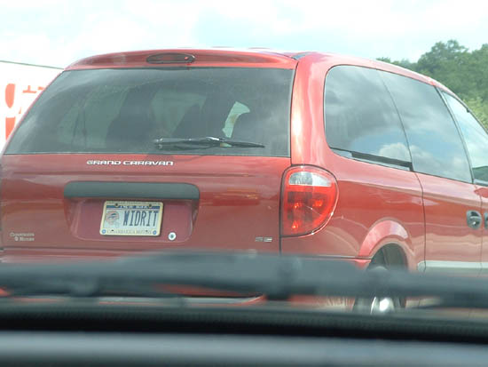
Fellow Bills Fan (Why would they
commemorate arguably the Bills'
worst moment?)
New Hampshire state line
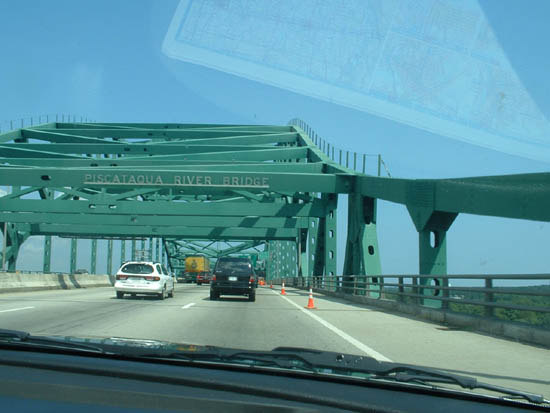
MA-NH state line on I-95
Maine State line
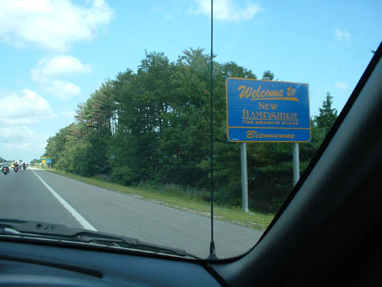
NH-ME state line near Portsmouth
Cadillac Mountain
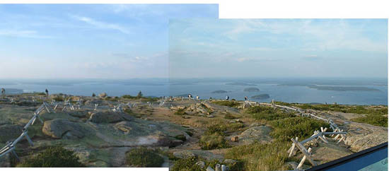
Cadillac Mountain in Acadia
National Park, ME, site where
the first rays of light hit
the US at sunrise
Cadillac Mountain
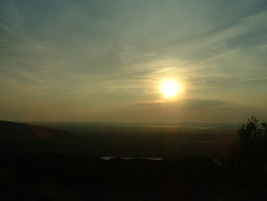
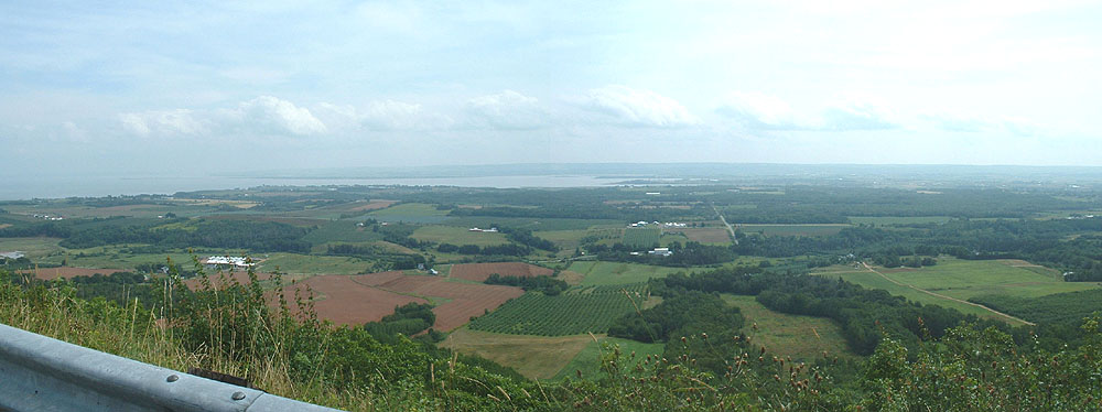
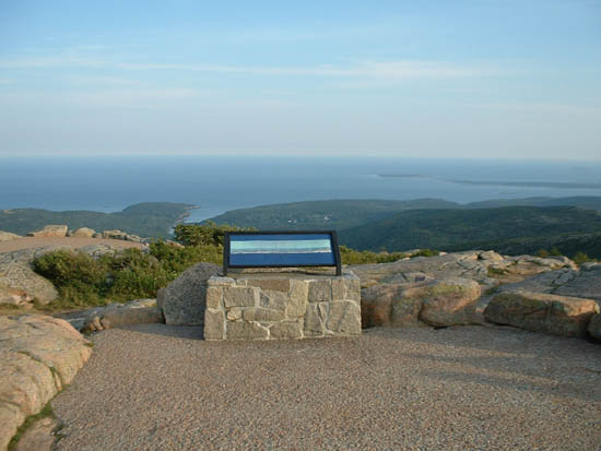
Cadillac Mountain vista
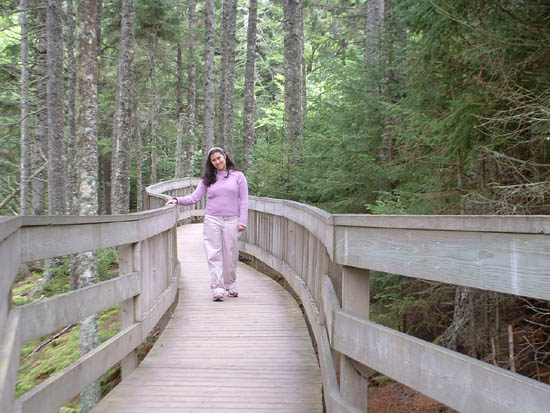
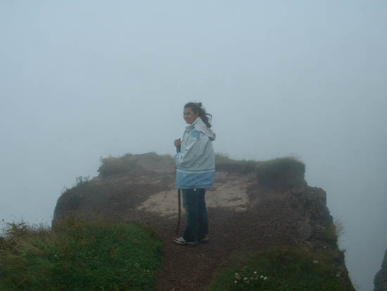
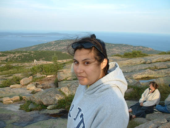
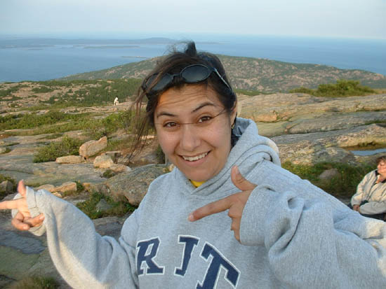
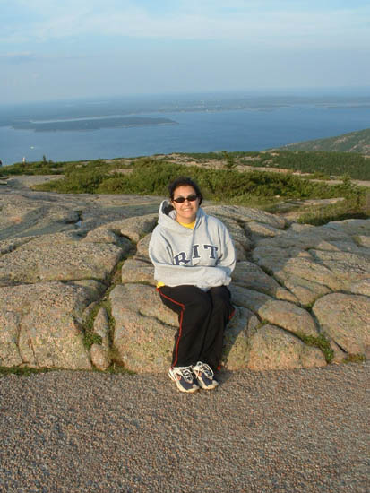
Val on Cadillac Mountain
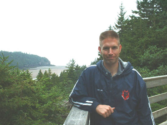
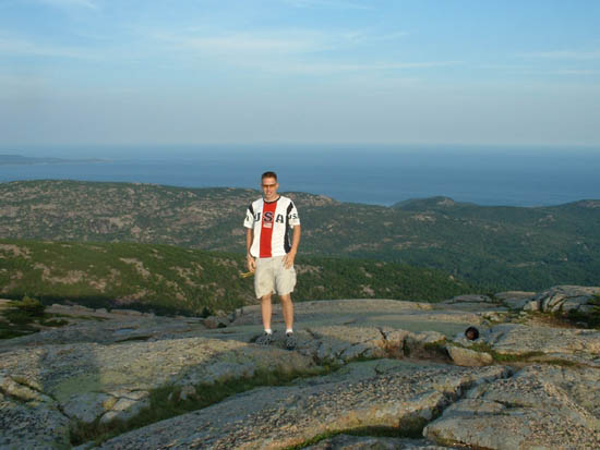
Andy on Cadillac Mountain
Bar Harbor Maine from Cadillac Mountain
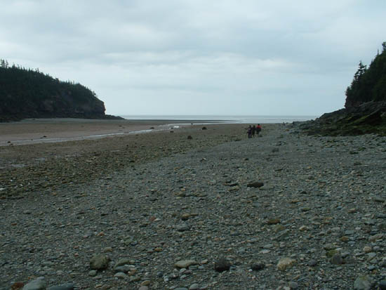
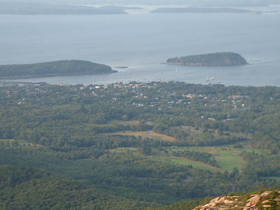
Bar Harbor, ME from Cadillac Mt
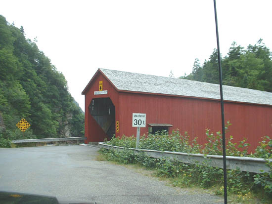
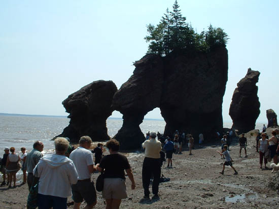
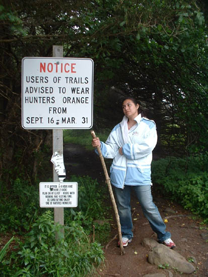
Val atop Cadillac Mountain
What's that? Eh?
Val atop Cadillac Mountain
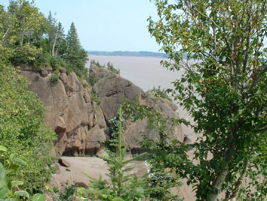
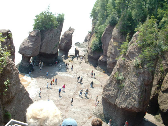
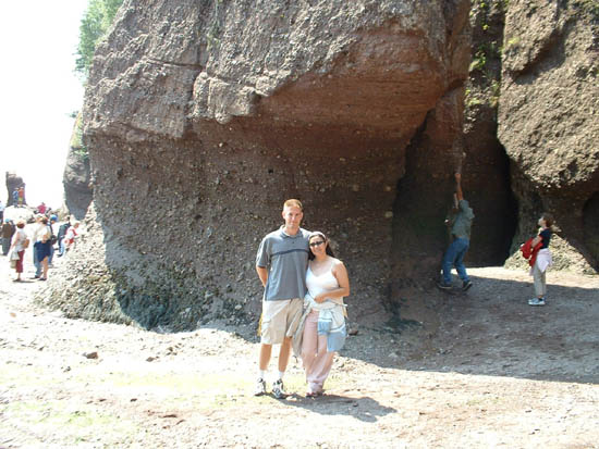
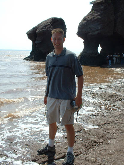
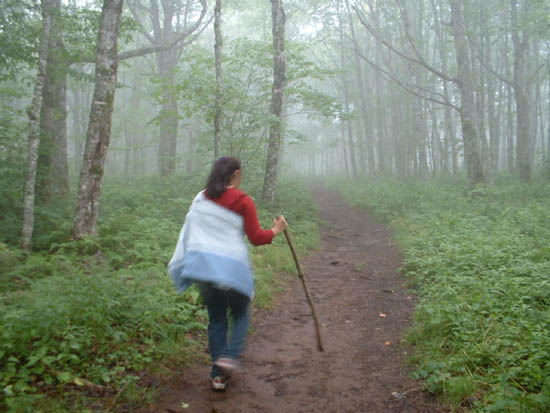
Yeah, Bar Harbor is the $h!t

Day 2: Acadia National Park, Maine to Fundy National Park, New Brunswick


This was a busy day. We awoke to observe the sunrise atop Cadillac Mountain. We didn't take a picture with the digital camera, but we did use the camcorder to take a video. The sunrise on Cadillac Mountain is where the first rays of light hit the United States. It was spectacular to see and worth the wait.

The first task was to drive to St. Andrews, New Brunswick, so we could go whale watching. We used the Quoddy Link as our tour guides. They were very educational and showed us all of the marine life in Passamaquoddy bay, not just whales. We saw American Bald Eagles, seals, salmon, and lots of shore birds. They showed us how herring and salmon are harvested in the bay, as well as the seaweed ("Rot"weed or "Rock"weed, we couldn't tell what the guides were saying) and what they were used for. They also had a bucked with starfish, crabs and urchins for the kids to pick up and play with. It was foggy and choppy out on the Bay of Fundy, so we only peeked the boat out a few hundred yards into the bay. We stayed mostly in Passamaquoddy bay (between far eastern Maine and New Brunswick).

Once done with the whale watch, we continued driving in New Brunswick to Fundy National Park (park map | faster loading site). We camped at the Wolfe Lake campground and spent the night.

Cadillac Mountain Sunset
Sunset on Cadillac Mt
Val driving in Maine
Val drives for a bit along ME coast
Maine Shoreline
Maine shoreline
Maine shoreline
Maine shoreline
Maine Shoreline
Maine shoreline scenery
Colonial house in Calais Maine
Colonial house, Calais ME
Maine New Brunswick border in Calais
Canadian Border, Calais ME
Andy and big freaky chair
Big friggin chair
Andy on the whale watch
Andy on whale watch boat
Salmon Farm Bay of Fundy
Salmon farms in Bay of Fundy
East Quoddy Lighthouse
East Quoddy Lighthouse,
off of Campobello Island.
ns24_whale
Minkie whale- look!
ns25_whale
Minkie whale
ns26_whale
ns27_whale
Find the whale in this one
ns28_whale
ns29_whale
ns30_whale
You could hear the spout
ns31_whale
ns32_wheres_the_seal
Where's the seal?
(hint: its in the water)
Fundy National Park empty road
Fundy Nat'l Park, NB
Fundy National Park empty road
Same empty road in Fundy NP
Campground bunny
New Brunswick bunny
Roughing it
We hiked far to pitch our tent
Valarie Flexing
Manly campers are we!
tent
Our accomodations
Val @ lake
Val at Wolfe Point lake
Andy throwing stone
Andy hurling stone back into lake

Day 3: Fundy National Park, New Brunswick, to New Minas, Nova Scotia


Lots of driving to do on this day. But before we commenced, we took some time to enjoy the scenic views of Fundy National Park. We first went to Wolfe Point, which has an enormous shoreline that fills and empties of water every 6 hours with the tides. We caught it near low tide, so we were able to walk out and observe. We also took a look at Dickinson falls, a nice picturesque waterfall that required a short hike in the woods to see. We also stopped at a scenic overlook of the shore, but opted not to hike down to the water, due to time constraints.

After hopping in the car, we headed to Hopewell Rocks, in Hopewell, New Brunswick. An awesome sight to see, and you get a real appreciation for how fast the tide comes in. Standing on the water's edge, your shoes were surrounded by water in less than 2 minutes. In the 20 minutes we were there, the "Lover's arch" formation became submerged. Over a 6 hour period, the tide fluctuates about 35-40 feet in this area. We got there as low tide was coming in, and right before the beach area was closed off for safety.
We then continued driving and driving and driving, through Nova Scotia on our way to a hotel in New Minas. New Minas is a town of about 6,000 people. But they had a huge shopping plaza! We had to drive all the way around the Bay of Fundy to get to the other side for tomorrow's destination, Cape Split. Nova Scotia, although paved, wasn't paved very recently. Terrible crown on the roads and very lumpy. Hard on the shocks and your back, especially in a Mustang.

ns41_fundy_natl_park
Roads in NB are so empty!
Point Wolfe covered bridge
Andy at point wolfe
Andy at Point Wolfe trail to beach
Val at point wolfe
Val on Point Wolfe beach trail
Point Wolfe tidal basin
Low tide at Point Wolf
Point Wolf low tide
This is underwater at high tide
Val at Point Wolfe
Val in tidal zone at point wolfe
Point Wolfe river
River that fills at high tide
River at Point Wolfe
Same river, other side of bridge
River at Point Wolfe
Abandoned building, same river
Fundy National Park Scenery
Shoreline at Fundy National Park
Fundy park tidal basin
Lots of beach at low tide
Bay of Fundy
Geology of the bay
Dickinson falls trail
Trail leading to falls
Val near Dickinson Falls
Rocky cliff near falls
Val at Dickinson Falls
Valarie at the falls
Dickinson Falls
Dickinson Falls, Fundy National Park
Fundy National Park scenery
Vista view at Fundy Nat'l Park
Fundy muddy water
Bay of Fundy water is brown
from the tidal churning
Hopewell rocks
Our first look at Hopewell Rocks
Hopewell rocks
Beach section at Hopewell rocks
Val and Andy at Hopewell rocks
Together on the beach
Hopewell Rocks arch
Rock formations on the beach
Andy at water hopewell rocks
2 waves later, my shoe was
underwater, the tide came
in so fast
Val and Andy at Lovers arch hopewell rocks
Lovers arch @ Hopewell Rocks
Nova Scotia border
Crossing into Nova Scotia
Red Pavement
The road has a reddish hue
Val said another section was green
but the pic didn't show it

Day 4: Cape Split, Nova Scotia back to Maine


Rose up refreshed and clean, and drove on some more lumpy, under-maintained roads to Cape Split. We stopped off at Hall's Harbor, per the recommendation of the hotel staff, a quaint little fishing town. Unfortunately, the bay was socked in with thick fog. Low tide prevailed in the morning, and we took some pictures of the bay with the boats sitting on bare rocks. Hard to imagine that it fills up during the day. We found out later that you can see Cape Split from this spot, and the view is supposed to be good. We could see about 100 feet in front of us. And it was like this the whole morning.

We pressed on, fog or no fog, considering we'd driven about 22 hours to get to this spot. We approached the town of Scots Bay, which isn't really a town. I wouldn't even call it a village. It's a cluster of about 10 homes. And the road ends with a parking lot. There's a trail head to hike out to Cape Split, the actual scenic destination. Each day, 4 times a day, the volume of water passing by Cape Split is greater than all of the waterflow output of every river on earth. There are 300' cliffs from which to see the tidal waters gushing through.

We hiked 5 miles, one way to get to Cape Split. It took us about 2 hours and 15 minutes. The trail was muddy, hilly and had many little detours around puddles. There were mountain bike tire treads.. mountain biking would have made this trail much easier (and faster). No guides, maps, handrails or safety straps here, kids. You can walk right to the cliff's edge and fall. The trails are unfinished. And we hiked out with the hopes that the fog would clear before we got there. We could hear the rush of water as it came in from low tide, though. But alas, as the pictures show, there was no fog relief. We couldn't even see the water at the bottom of the cliffs, giving it a mystic, Riven/Myst/Uru world kind of feel. We definitely plan on returning here and seeing it on a clear day.

After hiking back another 5 miles, we cleaned off, changed socks and began the very long drive back home. Along the way, we slowed to take a picture of the New Brunswick border sign. Not 1/8 mile later (that would be about 200 meters for our Canadian friends), there was a tire tread in the middle of the road. One of those blowouts from a tractor-trailer. Three quarters of a tire, lying across the the lane. And the shoulder on the road was about 1 foot wide of pavement, followed by gravel. I couldn't swerve left, because of traffic. I couldn't swerve onto the shoulder, because I'd lose control going about 65-70 mph (that's 110 Kph for our northern neighbors). So I decided to straddle the tire.. in the Mustang.. and WHAM! it was a pretty hard jolt. I pulled the car over immediately, and as I opened the driver side door.. CRREEEEAAAK. Something got bent. Fortunately no blowouts, or alignment wierdness. But it ended up costing $750 out of pocket. The cloth that holds the convertible rear window tore where it connects to the convertible top, leaving a 18" hole. It was a rain-proof hole, though, because the convertible top overhangs that spot. That was $400 to fix, insurance doesn't cover it anyway. The remaining $350 was to repair the bent body (but not the frame).

Our goal was to camp in Maine, and we got to a campground in eastern Maine right before it closed. The attendant was very nice and we enjoyed a restful sleep.

Halls Harbour low tide
Halls Harbour at low tide
Halls Harbour spider
Spider on the docks
Halls Harbour low tide
Who needs water anyway?
Can you imagine? This fills up to
the top of the docks @ high tide
Halls Harbour beach snails
Snails and lichen on beach rocks
Halls Harbour tide going out 1min apart
Tide was going out, these
pics were taken 1 min apart
There's a small difference
Val on Halls Harbour beach rocks
Valarie navigating the slippery rocks
Halls Harbour beach rocks many snails
Rock that is submerged at high
tide features a lot more snails
Cape Split trail Scots Bay Val at entrance
Val at trailhead to Cape split
at Scots Bay, Nova Scotia
Bottom sign says plan on 5 hrs
Val hiking cape split trail
Hiking Cape Split trail
Val reading cape split sign
Whats this? Lets read..
Sign warning of danger at Cape Split
A reminder of how primitive
Cape Split viewpoint is
Cape Split crooked tree
Goofy shaped tree @ cape split
Cape Split cliff val
Val hanging over edge at
Cape split cliffside
Cape Split cliff
Foggy doom below
Val & Andy at cape split
Resting after long hike
Cape split cliff
Another cliffside fissure. Watched
a raven gliding down into the mist
Val on windy cliff edge at cape split
Val standing on windy cliff edge
at Cape Split, Nova Scotia
The Lookout Nova Scotia
"The Lookout." Of course the fog
starts to clear once we leave. We
couldn't even see the railing when
we drove by earlier, in the morning.
Nice view, though...
Canadian road sign glyphs
Those canadians and their goofy
road sign glyphs. Very confusing.
What's the key for?
Nova Scotia New Brunswick border
Crossing back into New Brunswick
I ran over the tire right after this.
Had the camera been aimed left,
you'd see it.

Day 5: Maine back to Home


We awoke to gloomy, cloudy foggy, miserable weather. We spent 45 minutes driving around on Route 1 south of Portland looking for a lobster roll, when it turns out McDonald's had a pretty good one. We drove by the McDonalds 4 times, and the traffic was incredibly awful there and on I-95. It poured buckets when we got back to Massachussetts, reducing visibility to about 10 feet in front of the car. We'd fortunately avoided the bad weather right up until the last day. Total driving time was about 44 hours, and total distance was about 2400 miles. There are no cops in Nova Scotia or New Brunswick ;-)

Rain storm mass
Storn was so dark, pic is blurry
and visibility was nil
Heart shaped cloud
Of course, by the time we took this
picture, the cloud wasn't quite the same
but it still is sorta heart shaped.
Its the little one left of the antenna.

Return to Both of Us Page

© 2004 Welsh House Productions